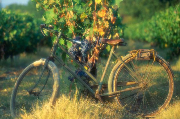
The world's greatest winemakers receive global adulation. A few wine writers aspire to that kind of celebrity. Wine photographers enjoy increasing recognition for their work. Who, though, can recite the names of the wine world's most skilled cartographers?
As Hugh Johnson realised long ago, for interpretative utility, no single tool is as precious to wine drinkers as a finely drafted relief map. In wine, we taste terroir. Wine maps help us see terroir.
Not wholly, of course: you can’t draw climate, and a great map ideally needs the complement of soil sections and some visual account of geology, too. But to gauge the land in graphical form is to travel a long way towards understanding why the wine of a particular site might taste as it does.
In subtle topographies, moreover, relief maps are more useful than the naked eye itself (the Médoc and much of winegrowing Australia offers good examples). Maps resume an entire area in a way which might take you a month or more to discover on foot or by car. If you overlay the land-holdings of growers on to a relief map, and resume the land-registry boundaries of individual vineyards, you will have the perfect intellectual complement to the bottle itself. (In Burgundy, this is almost essential.)
Road maps, by contrast, tell you nothing at all about terroir; they just show one single human overlay, and turn every landscape into a featureless plain. Any wine region offering those visiting it no more than a promotional road map (and that means almost all of them) is denigrating its own terroir.
As an oenocartographophile (apologies for the barbarous neologism), I’m always hunting wine maps. The limpid cartography of The World Atlas of Wine, nowadays co-authored by Hugh Johnson and Jancis Robinson, has been my constant companion for a quarter of a century, evolving with each new edition, and the maps in The Bordeaux Atlas and Encyclopedia of Châteaux by Hubrecht Duijker and Michael Broadbent (now, alas, out of print) are extraordinarily useful. Both express topography by contour line, which takes a little practice to use.
Giving a more literal visual representation of relief is the newer way – most artistically pioneered for the Oz Clarke Wine Atlas and other Clarke-authored books which use the same resource (on Australia and Bordeaux). It can, though, be done with more geographical precision, as with the maps created by a talented cartographer called Martin von Wyss, working with Max Allen, for Tasmania and Victoria, as well as Australia as a whole (see here). Most illuminating of all, though expensive to buy and bulky to store, are the exaggerated relief maps in coloured, moulded plastic produced, for example, by France’s Institut Géographique National (see here). They are not framed with wine in mind, but will tell you an enormous amount about wine landforms in their natural context. One of my most precious possessions is the Languedoc Cevennes Provence map in this series (number 60508). It cost almost €100, but I never stop learning from it. The photograph above shows a small section of it.
Some wine regions have managed to provide genuinely informative mapping, notably the map created for Châteauneuf by Michel Blanc and Cyrille Suss, available in Chateauneuf itself from the Vinadéa boutique for €3 (vinadea.com/) and exceptionally downloadable as a PDF here. Occasionally, individual producers do the job themselves, highlighting their own estates. The best example I know of this are the elegantly classical relief maps of the Côte d’Or by Bouchard Père et Fils and that of Chablis by the Bouchard-owned William Fèvre (copies are free to all by writing to contact@bouchard-pereetfils.com or contact@williamfevre.com).
On a recent trip to Piedmont, I became aware for the first time of the magnificent cartographic work of Alessandro Masnaghetti, almost all of it available via the web and at modest prices (see here). Most of Masnaghetti’s maps chart the crus in intricate Piedmont and Tuscany, but there is a Bordeaux map, too. The level of detail for the Italian maps is staggering: there are two maps for Dogliani alone, for example. There is, moreover, useful information about each cru on the back of the map. No serious fan of Piedmontese or Tuscan wine should be without them.
Masnaghetti’s maps don’t, in fact, show relief, but in the computer age they don’t have to: he lists the Google Earth coordinates of each cru in the information on the reverse of each map, and by entering that you can see on your computer screen how the land lies.
Google Earth itself, of course, is perhaps the single greatest asset there has ever been to the cartographically curious, and it is entirely free (earth.google.com). My computer skills are modest, so I can never manage to make it work well, but the adept can apply it to wine landscapes with striking effectiveness, as I know from having seen a little of what Professor Michael Summerfield is able to achieve at Edinburgh University for his ‘Geography of Wine’ module (offered within the overall undergraduate degree in geography). He makes Burgundy’s key vineyards quite literally take shape on the screen.
It is surely not beyond the wit of those promoting wine regions to harvest some of this resource for their own mapping. There’s no reason nowadays why we shouldn’t be able to see, as well as taste, the contours of flavour – everywhere.
Written by Andrew Jefford